")
 The article is available only in Bulgarian
 Tanya Slavova & Atanas Rusev
Caves are important for a wide variety of work fields, ranging from construction engineering to mineral exploration and archaeology. Despite their scientific importance, geologists expect that only a relatively small number of caves have been discovered so far. Current exploration efforts are mainly done by speleologists, but this is a time-consuming activity and limited to exploration based on existing surface openings. The authors of this article show that the combination of multiple geophysical techniques provides an easier and effective on-surface exploration method that meets the challenges of complex karst environments.
Abstract of Dissertation
Tanya Slavova
Both natural and man-made underground cavities are features that could give the answers to variety of questions. This dissertation is dedicated to both colleagues in geodesy and a broad range of other scientists and explorers. The results are of interest for specialists in speleology, geology, geomorphology, hydrogeology, mineralogy, biology, archeology, etc., and that is what defines the multidisciplinary significance of the problem.
Atanas Rusev, Tanya Slavova, Rangel Gyurov
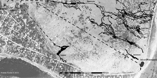
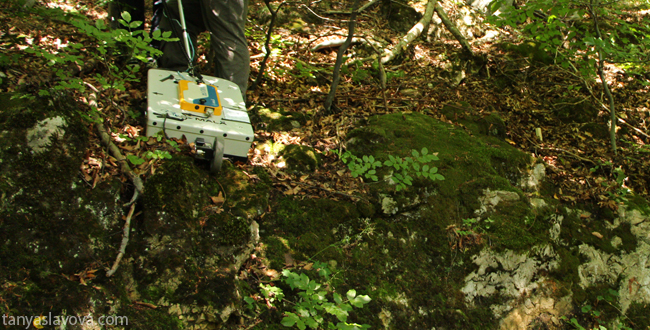
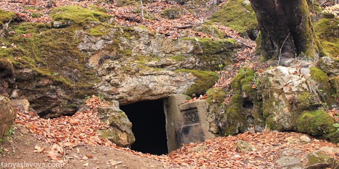
Duhlata cave is the longest (18 km in length) cave in Bulgaria, located in Bosnek karst area. Its 8 underground rivers flow is several times less than the surface springs flow, and probably more underground rivers and cave galleries are still undiscovered. For many years in Pepeliankata cave, located nearby, have been made attempts to discover its lower levels and to penetrate in new cave galleries and underground rivers that also stems from the same springs. Ground Penetrating Radar is used, for the first time in Bulgaria, to locate new cave entrances and galleries close to the surface, nearby Peleiankata Cave. Several possible new cave entrances and a cave room were located after analyzing results from the GPR’s radagrams.
Balkan Speleological Conference, Sofia, 2014
Tanya Slavova
Gravimetric methods are based on the natural gravity field of Earth. Measuring it with high accuracy and resolution makes it possible to resolve a variety of issues - from fundamental problems to tasks of small scale but large significance. Technological progress during the last decades have also expanded the applications, and the principle, which gravimetric methods are based on, confirmed their applicability for certain targets.
Cavities are features with typically high density contrast to the surrounding rock. On one hand, their detection is a classical gravimetric task. On the other hand, exploring their exact location, shape and size is an important issue for engineering, various sciences and ecology.
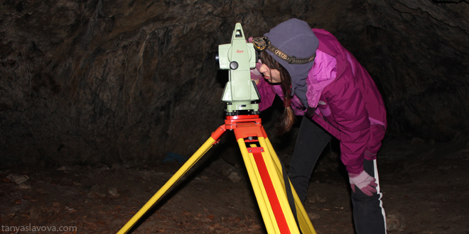
Tanya Slavova, Atanas Rusev, Asparuh Kamburov
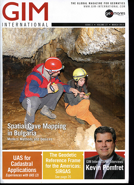
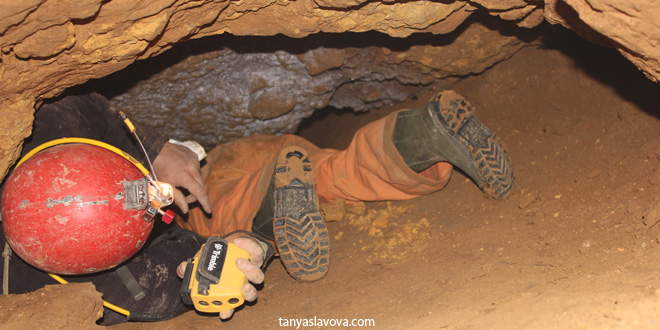
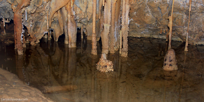
Caves are natural underground spaces formed and shaped over millions of years. Usually part of bigger caverns, they give a first-hand view of water, biology, oil and other subsurface distributions as well as a glimpse of the past when they perhaps offered a shelter or sanctuary. Therefore, when exploring a cave, it is useful to not only collect geometric information such as gallery dimensions and directions but also to take photographs and notes of any specific features of interest. Since safe storage, easy management and proper representation of spatial data can be difficult using traditional methods, these are all key requirements in the search for modern solution.